The geophysical airborne survey and geological mapping of the Karamoja subregion set to kick off anytime will last one year.
On March 24, 2021, the Minister of Energy & Mineral Development, Mary Goretti Kitutu and her junior, Sarah Opendi, presided over the flagging off of the planes that will carry out the airborne survey. The function took place at Entebbe Airport.
The survey will be carried out by South African company Xcalibur Airborne Geophysics. Ahead of the survey, the Police Minerals Police Protection Unit is expected to carry out sensitization of the communities where the survey will take place.
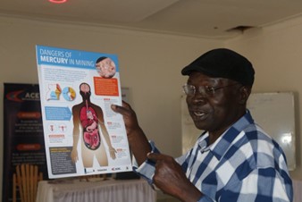
The Unit Commandant, SP Jessica Keigomba, says together with the Ministry of Energy and Mineral Development, they have embarked on a sensitization and alertness campaign in the nine districts of Karamoja to inform the locals there that the exercise is for the good of the country.
The aerial surveying is expected to improve mineral exploration, local and foreign investment in the Karamoja region and increase employment opportunities. Industry experts have argued that the lack of geological data is a deterrent to investors.
The project is funded by a loan from the Corporate Internationalization Fund of Spain. The loan was approved by Parliament in January 2020. Government will borrow almost 84 billion shillings which will cover 85 percent of the costs of the exercise and the remaining 11 billion shillings will be covered by the Government of Uganda as counterpart funding.


